Geospatial Trends to Watch in 2026
- David O'Brien
- Dec 27, 2025
- 3 min read
As the geospatial field continues to evolve, the coming year promises to deliver fresh opportunities, challenges, and innovations. Below are five key trends that organizations—especially in utilities, infrastructure, government, and engineering sectors—should keep an eye on going into 2026.

1. GeoAI & Advanced Spatial Analytics
What it is:
The integration of artificial intelligence (AI) and machine learning (ML) into geospatial workflows is no longer experimental—it's becoming foundational. GeoAI refers to applying AI/ML methods specifically to spatial data: extracting features from imagery, predicting asset condition, generating models of usage, automating map-production, and more
Why it matters in 2026:
As utilities, infrastructure owners, and government agencies accumulate massive geospatial and sensor data, they’ll need automated, intelligent ways to turn that into actionable insights (rather than manual mapping alone).
Predictive analytics (e.g., anticipating failure in buried infrastructure, or identifying emerging hotspots for maintenance) will shift decision-making earlier and reduce cost and risk.
Competitive differentiation: firms that deploy GeoAI at scale will be able to offer higher-value services (e.g., condition monitoring + predictive maintenance) than those simply doing maps.
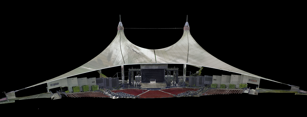
2. Digital Twins, Reality Capture & 3D Geospatialization
What it is:
More projects are shifting from 2D-centric maps toward digital twins, detailed and dynamic 3D/4D models of physical assets and environments (buildings, infrastructure networks, utility corridors). Reality capture technologies (mobile mapping, UAV LiDAR, point cloud) feed into these twins. We’ve been creating digital twins for companies and organizations for over ten years and the demand continues to increase.
Why it matters:
For utilities and infrastructure verification, a digital twin provides a living model of what’s underground, aboveground and how systems interact.
3D enables better conflict detection (e.g., underground utilities vs planned construction) and clearer stakeholder communication (contractors, agencies, municipalities).
As “smart infrastructure” becomes more common, the twin becomes part of operations (not just design) — monitoring, simulation, asset lifecycle.
3. Advanced Sensor/Multi-Payload Platforms
Drones are increasingly carrying more than just a camera. The current trend is to include LiDAR + photogrammetry + thermal + multispectral imaging, all in one flight.
Why it matters:
For utility verification and infrastructure mapping you get richer data in fewer flights: you can capture surface imagery, underground/vegetation penetration (LiDAR), detect heat leaks (thermal) etc.
Greater efficiency: instead of doing separate flights for separate sensors you combine tasks.
Higher accuracy and better deliverables: richer data means better modelling, better before/during/after verification documentation.
4. Cloud-Native, Real-Time & Edge Geospatial Workflows
What it is:
Geospatial workflows increasingly live in the cloud, and support near-real-time processing instead of static map generation.
Why it matters:
During data collection we can make adjustments on the fly to improve overall results
Scalability and collaboration are improved as more people are able to interact with the same data seamlessly
Improved access to field crews
5. Sustainability, Environmental Risk & Infrastructure Resilience
What it is:
Geospatial technologies are increasingly applied to sustainability, climate risk, environmental monitoring, infrastructure resilience, and regulatory compliance.
Why it matters:
Infrastructure owners and utilities are under growing pressure to demonstrate resilience (from climate events, regulatory scrutiny, supply-chain disruptions). Spatial data helps with scenario modeling (flooding, subsidence, grid failure), risk mitigation, and regulatory reporting.
Environmental markets: As ESG (environment, social, governance) standards evolve, spatial intelligence becomes a differentiator in planning, permitting, and operations.
Urban development, smart-cities, and disaster-response require geospatial inputs to make infrastructure adaptive.
Commitment to Innovation
At SurvTech Solutions, staying at the forefront of geospatial innovation has always been part of our DNA. From pioneering the use of advanced LiDAR and UAV mapping systems to integrating cutting-edge reality capture, 3D modeling, and subsurface utility engineering technologies, we’ve consistently embraced the tools and techniques that deliver greater precision, safety, and efficiency for our clients. Our team doesn’t wait for trends to arrive — we anticipate them, test them, and apply them in ways that make real-world impacts. As the geospatial industry evolves with AI, digital twins, and smarter drone systems, SurvTech will continue to invest in emerging technology and refined field methodologies to ensure our partners and clients benefit from the most accurate, reliable, and forward-thinking solutions available.