

SurvTech Solutions ®
Surveying Today with Tomorrow's Technology

Hydrographic Surveying
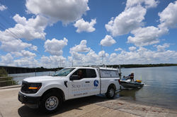
SurvTech performs hydrographic surveys on rivers, lakes, quarries, berths, and coastal water bodies, using the latest hydrographic technology. With hydrographic survey offices in Mobile, Alabama and, New Orleans, Louisiana we are poised to quickly deploy to your project site in Southeastern United States.
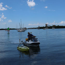
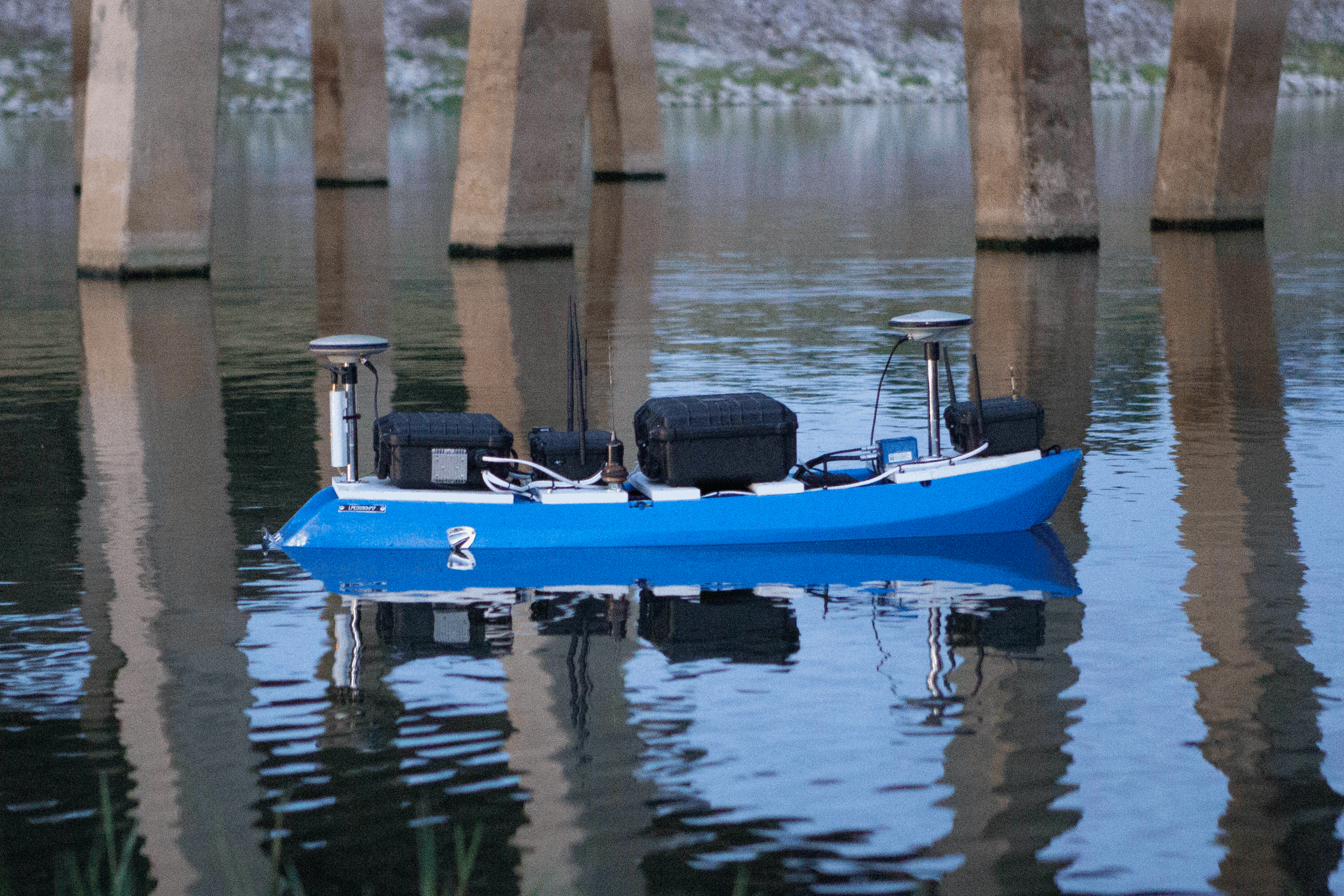
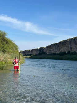
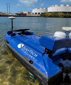
SurvTech specializes in performing hydrographic surveys in logistically difficult environments, including those with difficult access and/or acidic water conditions. Using innovative methods, we have equipped a one-manned vessel, unmanned vessel, and an amphibious vessel with survey equipment to access areas that cannot be surveyed by traditional means.
With these innovative methods we regularly perform surveys where others say it's impossible. With the sonar technology listed below, we can map underwater conditions in high definition, as well as map below the seafloor to find utilities and geologic formations.
If you need other services such as: Concrete Scanning, Subsurface Utility Engineering, or other surveying solutions click these links too:
 |  |  |  |  |  |
|---|---|---|---|---|---|
 |  |  |  |  |  |
 |  |  |  |  |  |
 |  |
Hydrographic Surveying Methods
Hydrographic data collection can be combined with mobile laser scanning to collect elevations both above and below water level. Positional data is collected with RTK GNSS for centimeter accuracy.
-
Multi beam Bathymetry
-
Single beam Bathymetry
-
Single Beam Dual Freqency Bathymetry
-
Side-scan Sonar
-
Interferometric Sonar
-
Marine Mobile LiDAR
-
Marine Mobile Imagery (360°)
-
Underwater Video
-
Sector Scan Sonar (Mesotech)
-
Sub-bottom Profiling
-
Marine Magnetometry
-
Unmanned Survey Aquisition
-
Marine Seismic Surveys
-
Marine Geophysical Surveys - Boomer & Pinger Systems
-
Marine GPR Surveys
-
Underwater Imagery


Hydrographic
Surveying Solutions
-
Bathymetric Record
-
Benthic Habitat Characterization
-
Cross Sections and Profiles
-
Digital Elevation Models (DEMs)
-
Nautical Archaeology
-
Navigation Hazard Survey
-
Subaqueous Pipeline Survey
-
Rig Removal Site Clearance
-
Search and Recovery
-
Substrate Characterization
-
Support for Commercial Diving
-
Volumetric Calculations
-
Subaqueous Geophysical Mapping
-
Deformation & Scouring Surveys
Request a Survey Service
Are you in need of a hydrographic survey? Contact Darron Goss at 813-621-4929, dgoss@survtechsolutions.com or click the box bellow!