Spotlight on Our UAV Department
- David O'Brien
- Mar 31, 2021
- 1 min read

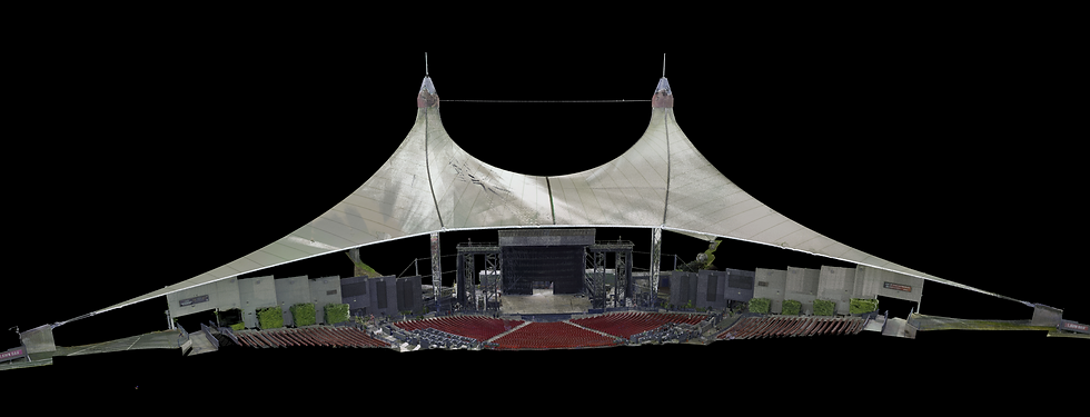
Our team is equipped with leading technology in Unmanned Aerial Vehicles (UAVs) that provides high quality mapping solutions. Our team is equipped with the Velodyne HDL32 and VUX-1-UAV LiDAR sensor which is flown on a M600 or Harris H6 Hybrid to ensure we provide the most cost effective and efficient solution to every project. We also recently added the Snoopy VUX Riegl LiDAR payload and the M300 RTK with the Zenmuse H20T to our fleet, allowing us to provide even greater service to our clients.
We utilize professional-grade UAV sensors to perform data acquisition, including the following:
• RGB (red, green, blue) imagery
• Video
• LiDAR
• Thermal/FLIR (forward looking infrared)

SurvTech is fully approved by the Federal Aviation Administration (FAA) to operate UAVs for aerial mapping and inspection services. We are one of the few firms in the southeast that has aerial LiDAR and imagery on UAVs and airplanes. Our LiDAR processing department has been working with aerial LiDAR for over 22 years, which makes us highly experienced in processing LiDAR from an aerial vehicle.
Contact us for more information on utilizing drone services on your next project!